Coasts in Mind Digital Mapping Platform Launch & Volunteering Opportunities
Developed by the Coasts in Mind project, part of MOLA (Museum of London Archaeology) and funded by The National Lottery Heritage Fund, the platform brings together residents’ memories, photographs, postcards, and local knowledge. It highlights perspectives that are often overlooked in traditional climate change discussions.
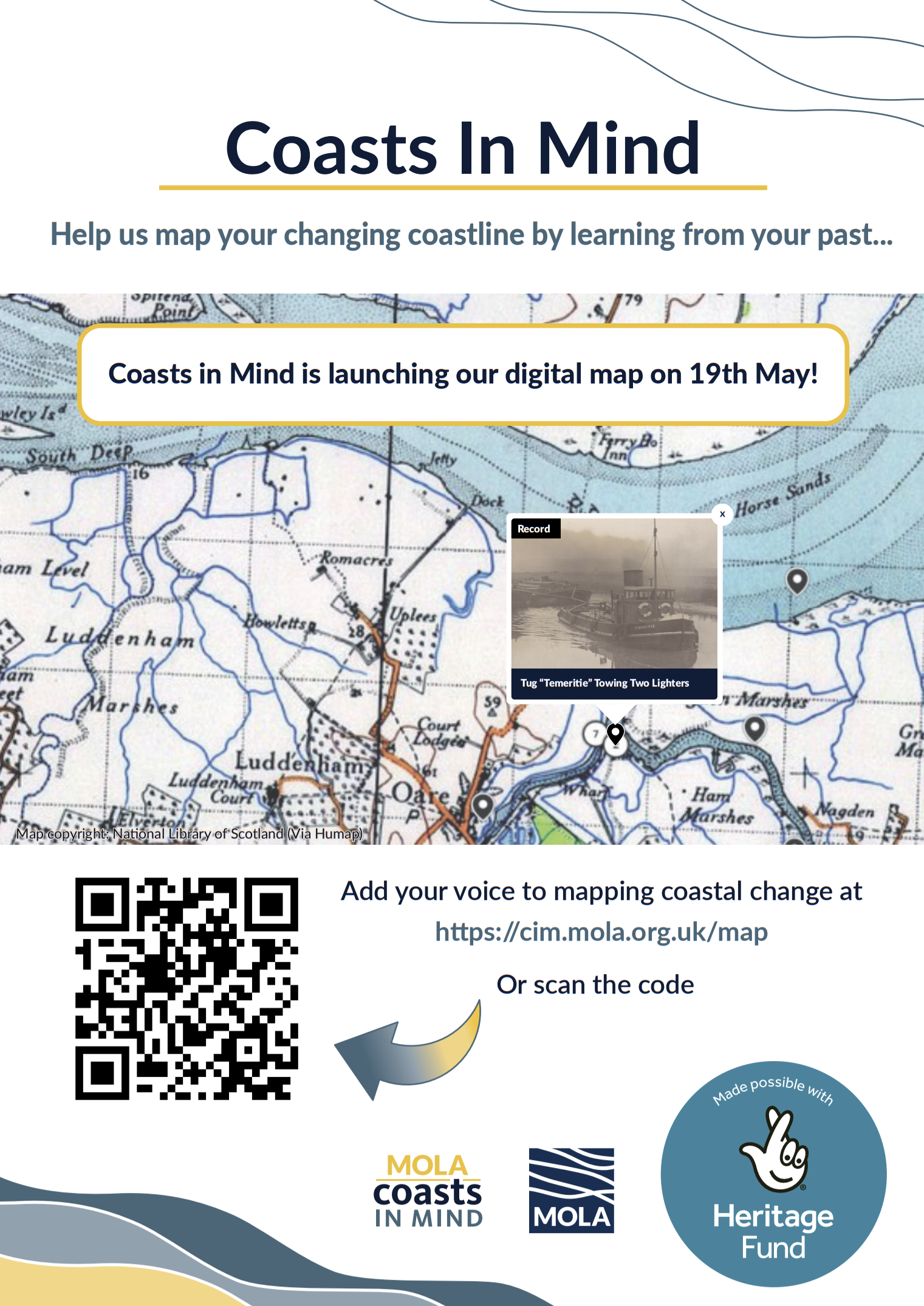
The map features stories and evidence gathered through workshops, volunteer activities and community research, creating a publicly accessible record of how coastlines and heritage sites are changing over time. Locations highlighted on the map include the remains of a Second World War radar station and anti-aircraft battery at Warden Point on the Isle of Sheppey - now fallen from the cliffs onto the beach below due to erosion.
By placing lived experience at the centre of the conversation, the project aims to strengthen understanding of climate change and support more inclusive decision-making. The platform also provides a valuable resource for anyone interested in coastal heritage, archaeology, and the environment.
This launch is part of a wider three-year initiative working with communities across England to document coastal change and build resilience for the future.
The Coasts in Mind Mapping Platform is now live and open for public exploration and contributions.
Explore the map: https://cim.mola.org.uk/map
Alongside the Mapping Platform, Coasts in Mind are offering a cohort of accessible, armchair archaeology and research volunteer opportunities for a team of moderators who can help process and analyse public contributions whilst adding their own records to the archive.
Coasts in Mind would provide online or in-person platform training opportunities for any interested members/ volunteers in collaboration with The Kent Archaeological Society. Volunteers would be free to focus on their own particular interest subject, themes or areas whilst having the opportunity to engage in wider areas.
Training would include archaeological identification and research, spatial mapping platform use and digital archiving techniques.
To register your interest please contact hfarmer@mola.org.uk